Below are two maps-- one from the 19th century and the other from the 21st century. Both maps comes from BHS's collection. The top is called Hooker's map of the Village of Brooklyn, and the bottom one is one that most people are familiar with; it is called Welcome to Brooklyn-- a map printed in 2010. What I want people to do here is take a look at the top map first and try to find streets located in Street Names, and see which ones are still there and which ones are not. Then, compare the top map with the bottom map, and try to see what has changed over the years.
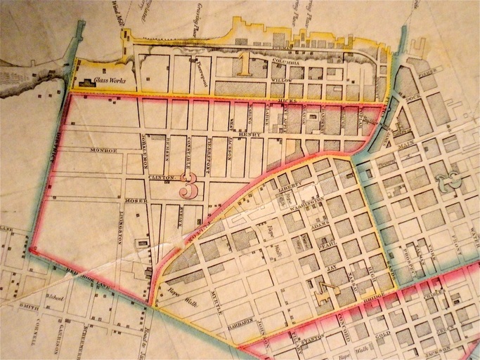
19th century map
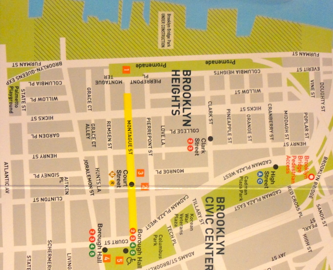
21st century map
